7°


 12 May 2020
Some Useful Maps of Iceland
When you start planning a trip to Iceland it's never easy to know where to start. That's where we come in! The various interactive maps on the iceland-dream.com site were designed to help travelers build their itinerary according to tourist site and activity of choice.
Here you can see all the maps available on https://www.iceland-dream.com site in a convenient list. Bookmark this page to find all your top points of interest and plan your trip, and there are still more maps to come!
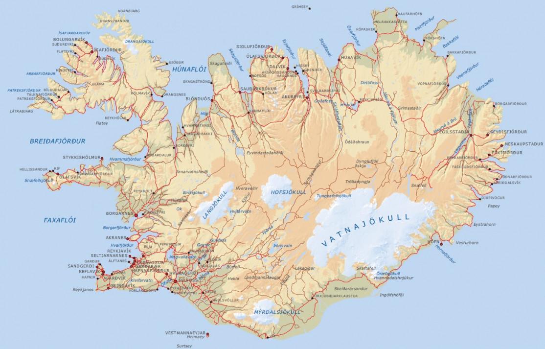
This basic map is a downloadable royalty-free image file that provides an overview of the country.
- The interactive map of tourist sites and points of interest
- The interactive map of hikes and treks
- The interactive hot springs map
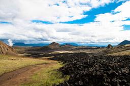
- The interactive map of volcanoes
- The interactive map of gas stations
- Interactive map of Iceland's cities
- The International Photographer map
- Iceland Location Search to see nearby attractions
Tip: mobile coverage is good along Route 1 and in inhabited areas, but it disappears in places in the highlands, the East Fjords and the Westfjords. Download your maps for offline use (Google Maps, Maps.me...) before leaving a town. Also note that Google Maps does not distinguish between paved roads and gravel tracks, and it does not show the restrictions on F-roads, which are open to 4x4 vehicles only. Check our article on driving in Iceland before venturing off Route 1.
The interactive map of tourist sites

Map of points of interest in Iceland
The interactive map of tourist sites by region is the most frequently used by visitors on the iceland-dream.com site.
With more than 250 points of interest (cities, tourist sites, articles, hikes...), it is the most complete map to build an itinerary.
Once the region of Iceland has been selected, click on the corresponding point of interest to link to the dedicated article.
The map is particularly useful for travelers who plan to focus on a particular region for a short stay.
The interactive map of hikes and treks

Map of hikes and treks in Iceland
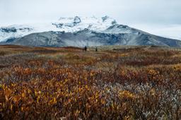
This convenient map of Iceland's hikes and treks is updated several times a month and lets you zoom in on hiking trails all over Iceland and click through to the dedicated article about the trail.
Before you head out hiking, check safetravel.is, the official Icelandic safety website run by the ICE-SAR rescue association. There you can leave a travel plan so that someone you trust knows where you are. The SafeTravel app can also send your GPS position to 112 if you get into trouble. You can find more information in our guide to hiking in Iceland.
The interactive map of volcanoes

Map of the volcanoes of Iceland
The map of Iceland's volcanoes references all the volcanoes in the country.
The interactive map of gas stations

Map of gas stations in Iceland
The Iceland gas stations map lists all the gas stations which can be quite rare in some areas, so this map can really save your life when you're visiting certain regions.
The interactive map of the cities of Iceland

Map of the main cities of Iceland
The map of Iceland's cities and regions lists all the major cities in the country. Use this to locate the closest urban centers to get supplies during your roadtrip.
Iceland's hot springs map

Map of Iceland's hot springs
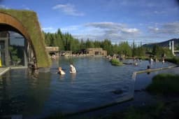
Another map that gets many visitors on our site is the Iceland hot springs map, which as the name suggests provides an overview of the various hot springs and at any point in your itinerary you can find out if there is a hot spring nearby.
These springs are either man-made pools in resorts or completely natural springwaters in the wilderness.
By clicking on a hot spring on the map, information will pop up with a short description, the GPS coordinates, and sometimes a click through to the dedicated article for that spring.
Iceland Location Search

Map to find places of interest near a location in Iceland
This search function is designed for map locations so you can see a list of all the major points of interest in a 50 km radius around the searched city. It's a great function for an overnight stay somewhere, or when you have a city in mind to visit.
The International Photographer map

Iceland International Photographer map
Finally, the International Photographer map is the tourist map in paper format, created by Michael Levy.
Official maps to check before you drive
The maps on this site will help you build your itinerary, but they do not show real-time road conditions. Before each day on the road, check the official sources:
- umferdin.is (Vegagerðin, the Icelandic Road and Coastal Administration): the map of road conditions and closures. The colours generally show a road that is normally passable (green), slippery or partly covered in snow (yellow), difficult or impassable (red), and closed or without information (grey/dark). Always read the legend, as it may vary with the season. The Vegasjá app is also available on iOS and Android.
- vedur.is: weather forecasts, wind and warnings.
- safetravel.is: safety alerts by region, and where you can leave a travel plan.
This is especially important for F-roads, which are reserved for 4x4 vehicles and open only seasonally (generally from mid-June or later, with dates set each year by Vegagerðin). Winter driving also calls for a check every morning.
Follow us