Interactive Map of Southern Iceland
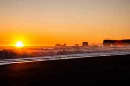
South Iceland is probably the most touristic region in the country. Waterfalls, beaches as far as the eye can see, glaciers, icebergs, volcanoes and national parks: this region has a smorgasbord of landscape types. It is also easy to get to in winter, so that opens up the whole year.
The south of Iceland has it all, from Vatnajokull National Park to Jokulsarlon, Vik and Seljalandsfoss to Skogafoss, and each is a little paradise in its own right.
You can drive more than 50 km along the south coast without seeing a landscape out the window and knowing you absolutely have to stop.
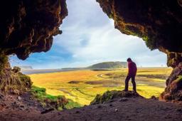
Skaftafell Park is a small paradise for hikers and shouldn't be missed, and the same goes for the famous Fjadrargljufur canyon.
There's also the Westman Islands archipelago, which can be reached by boat and is simply stunning, a string of 14 islands with striking rocks and islets rising from the sea around you, all of volcanic origin. A remote and hostile area, only Heimaey Island is inhabited.
Not to be missed in the south
- Skaftafell Park
- Jokulsarlon
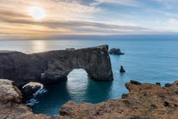
- Reynisfjara beach
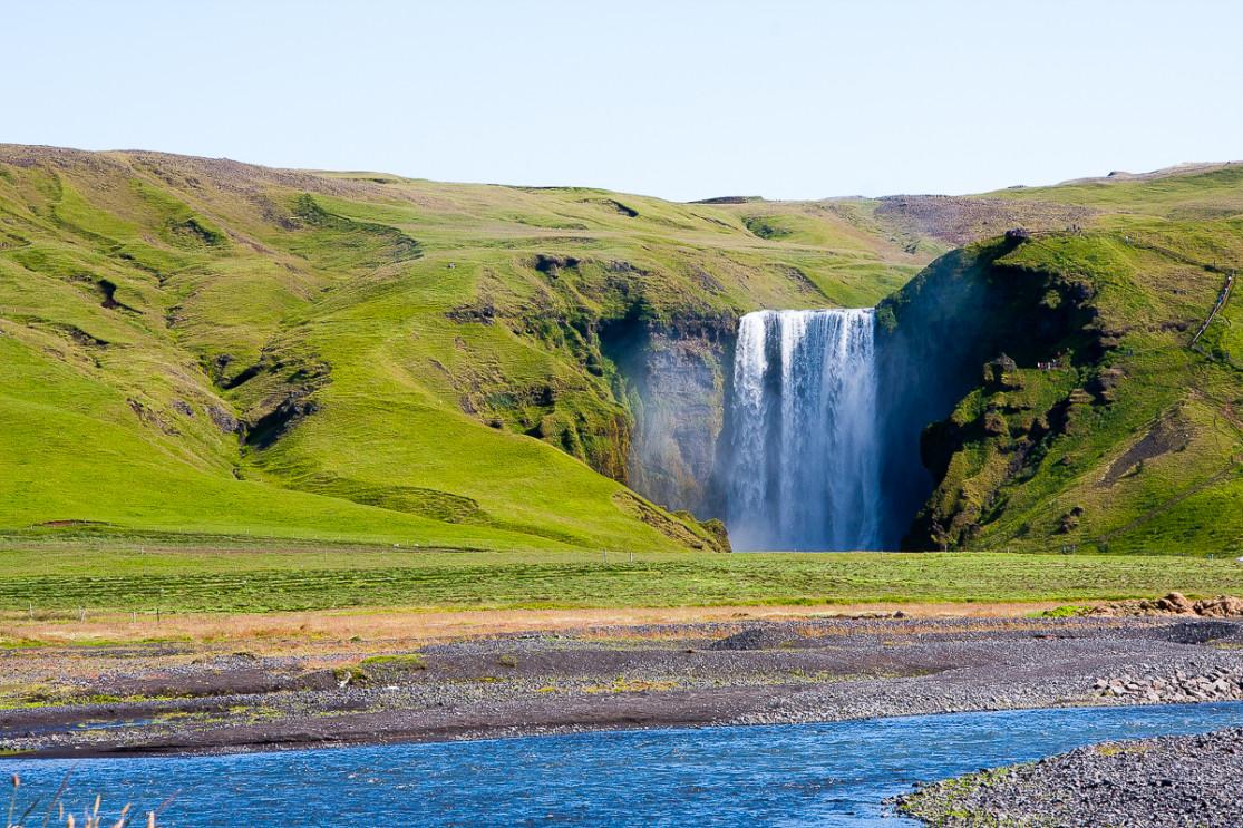
- Skogafoss
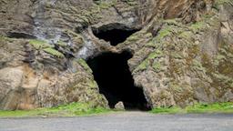
- Seljalandsfoss
- The Westman Islands
- The Fjadrargljufur canyon
- Svinafellsjökull glacier
- Dyrholaey
- Vestrahorn and Stokksnes Beach
- Múlagljúfur canyon
The map of the south and its points of interest
The map has been divided into 6 regions to help travelers focus on one part of the island, for example during a short stay, or put together a multi-region itinerary. Select a region to see the tourist sites in this area.
© www.iceland-dream.com, reproduction prohibited. For any queries, information, or modifications, please contact us.