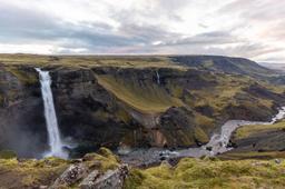
Interactive Map of Tourist Sites in Iceland
In Iceland, each region has its own charm a long list of unusual or unusually beautiful sites.
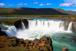
Some regions, such as the south and the west, which remain accessible in winter, are very popular for short stays because you can get there all year round. The highlands (Center) is a favourite of hiking enthusiasts, and those who enjoy the challenge of off-road 4x4 vehicles can rent one to explore the most remote and spectacular sites.
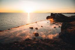
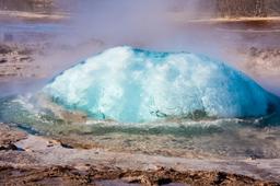
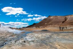
The Northwest and the East are the fjord regions, almost completely untamed aside a few quaint little fishing ports. The Northwest is very isolated from the rest of the island, way off the beaten track of Road number 1. Finally, the north, is the region of Myvatn, the most visited lake in Iceland with its incredible surroundings.
To get an idea of the recommended itineraries in Iceland, check out our page of the best selected itineraries and our expert recommendations for 1 weekend in Iceland, 1 week in Iceland or 2 weeks in Iceland.
Also, the site regularly offers new detailed travel stories in the “travel stories” menu.
Foremost, you can start with the page on our tips before going to Iceland.
Tourist map of Iceland by region
The map has been divided into 6 regions to help travelers focus on one part of the island, for example during a short stay, or put together a multi-region itinerary. Select a region to see the tourist sites in this area.
© www.iceland-dream.com, reproduction prohibited. For any queries, information, or modifications, please contact us.