Interactive Map of Northern Iceland
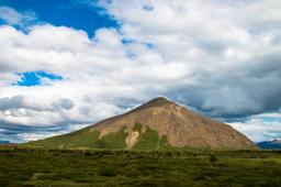
North Iceland is a landscape of peninsulas and fjords. The road that leads from the Eastern Fjörds to the Myvatn region is particularly deserted and these lunar landscapes as you make your way to Myvatn really are magical in their own right.
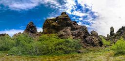
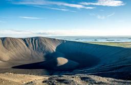
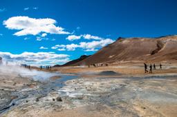
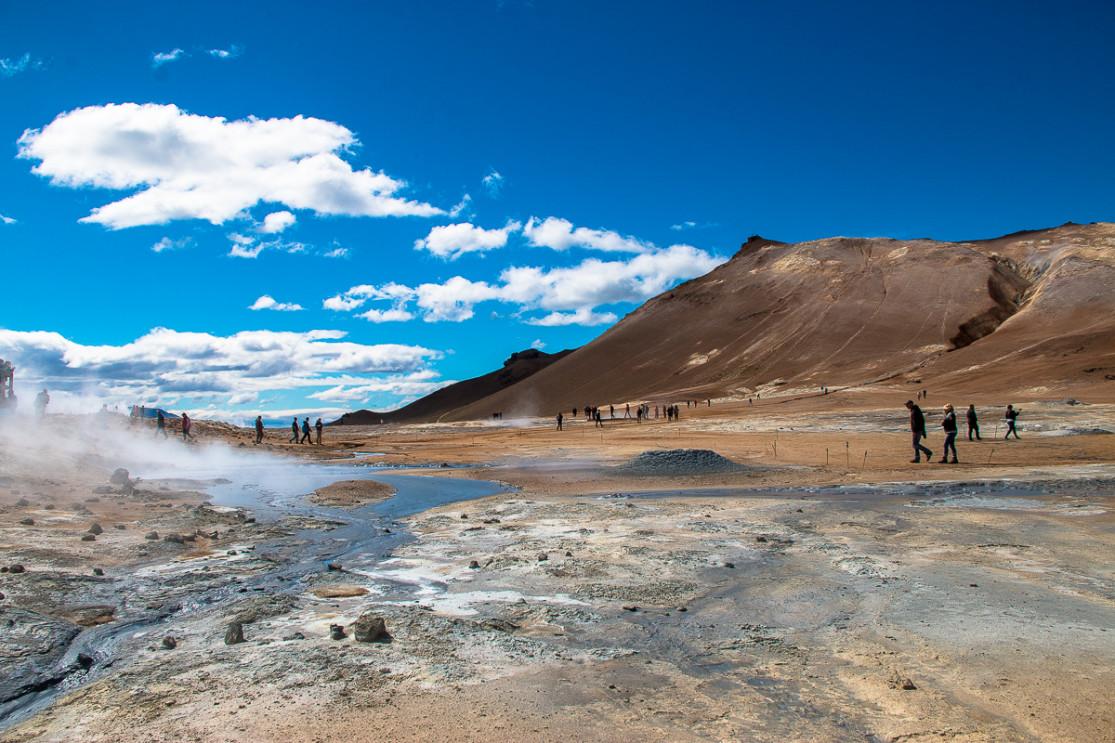
The Myvatn region in the North East of the country remains a geological wonderland. Lake Myvatn, nicknamed “the lake of the midges” (because of its flying critter population) is located in the heart of this region, with so many incredible viewpoints and unique sites that would be a shame to miss on any trip to Iceland. Lake Myvatn with its craters, mud pots, solfatars and other lava flows is one of the most visited regions in Iceland because it concentrates the most tourist hotspots in a small radius.
But the region isn't all about Lake Myvatn. Akureyri, the northern capital, is a must-see, and the charming fishing port of Husavik is renowned for being the European capital of whale watching.
And last but not least, the northern region is home to the superb Dettifoss and Godafoss waterfalls, as well as the Jökulsargljúfur Park and its countless hiking trails.
Not to be missed in the north
And along the way make sure you stop to admire all the small coastal villages!
The map of the north and its points of interest
The map has been divided into 6 regions to help travelers focus on one part of the island, for example during a short stay, or put together a multi-region itinerary. Select a region to see the tourist sites in this area.
© www.iceland-dream.com, reproduction prohibited. For any queries, information, or modifications, please contact us.