Interactive Map of Iceland's Volcanoes
More information on the ongoing eruption near Grindavik !
Iceland has no less than 130 volcanoes. Some are dormant, like sleeping dragons, while others are still very much active. The position of the country, located on the North American and Eurasian Ridge, explains this significant volcanic activity.
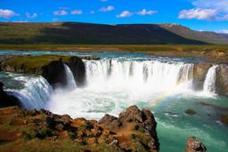
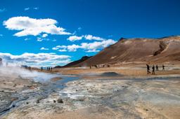
Anywhere you look along the roads in Iceland, you see the traces left by volcanic eruptions: from lava fields carpeted in moss to vast plains of black sands as far as the eye can see. Volcanic phenomena are everywhere with mud pots, hot springs, fumaroles and even geysers, such as the very namesake of the word, Geysir.
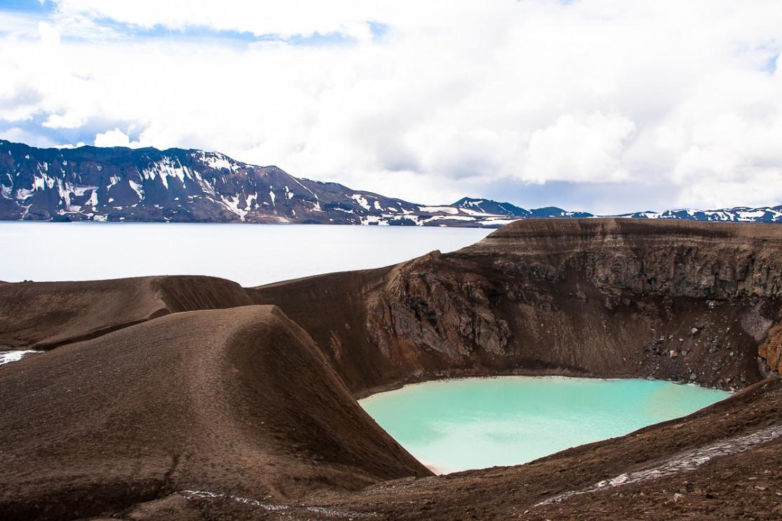
Among the most famous volcanoes, we can of course mention Eyjafjallajökull, which paralyzed all of Europe for a few weeks in 2010, but there are many more with of course the Laki in the south of Iceland but also Hekla, Askja, or Katla.
The last major eruption in Iceland was Grimsvötn, just so you know. Also, close to Reykjavik, the Thríhnúkagígur volcano is the only place in the world where you can penetrate into the magma chamber of an active volcano.
On this map you will find Iceland's main volcanic attractions.
© www.iceland-dream.com, reproduction prohibited. For any queries, information, or modifications, please contact us.