International Photographer map
Photographer and graphic designer Michaël LEVY has come at our invitation to present us his Map of Iceland for photographers and hikers which has just released its 3rd edition.
What is it? What's so special about it?
Here are some of Michael's answers to our questions.
The birth of the International Photographer map
This map project started in 2011. It is a follow-up to the digital guide “eRoadbook ICELAND", written in 2010 following my first trip to Iceland in August 2009.

This guide is dedicated to photo lovers, detailing practical information for a “photographic trip" as I experienced my own journey there after 6 months of preparation .
Having it in writing was important, so journaled extensively. I recorded the times each day from when I rose (early!) to bedtime (late!) During this extremely busy “roadtrip” lasting 23 days, I am adding a lot of additional information to this guide in the foreword and appendices, which I have updated after my numerous trips to Iceland (twice a year).
I've been passionate about maps since a young age, and I even used to draw my own “pre-trip” maps (see Illustration) based on everything I read in the forums (including iceland-dream.com of course!) and weeks of research browsing books and the internet.
It occurred to me, this would make a great book! A map book dedicated to photography that would complement the information in the eRoadbook, like two sides of the same coin.
Taking advantage of my 10 years of professional experience in graphic design, I immediately set to work. It took me no less than a year to make the first edition which was released in May 2012, printing 1000 copies. It was a great success but buyers told me how it didn't hold up in humid and windy northern latitudes. The paper was not suitable.
The 2nd edition released in May 2013 was intended to overcome this problem. Waterproof paper is very expensive on the one hand, its thickness and stiffness make it extremely difficult to fold, but my printing house—with its 300 years of experience—worked wonders! It was a huge success and the 2nd edition was quickly sold out.
In October 2014 we released the 3rd edition, ever more complete, updated, and the price has remained unchanged since the first edition, I am very proud of that.
Its specificities

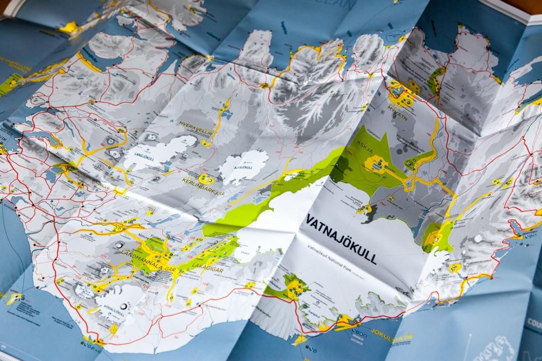
The Iceland INTERNATIONAL PHOTOGRAPHER map is technically a road map in terms of size (70 x 100 cm). Its scale is 1/600,000, perfect for offering a general view of Iceland.
Printed in double-sided color on very thick and soft paper, completely waterproof and tear-resistant, this map gives you in the blink of an eye all the areas to explore and photograph in Iceland.
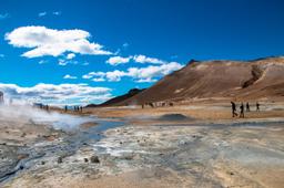
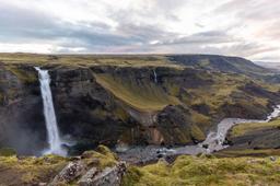
You will find essential road information, a detailed description of all the areas of interest (volcanoes, waterfalls, lighthouses, monuments, fauna, flora, attractions, etc.) as well as national parks and nature reserves.
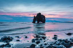
It also offers numerous car travel times on these off-road trails, the F roads, which are always very difficult to estimate. On the back, rather than long-winded text I preferred a large photograph of a place I loved with the relevant GPS coordinates. This offers a unique character to each new edition (which aficionados collect), and adds visual flair to the book.
Finally, for those who want to display the map on their walls, I decided to print a small print run of poster-sized maps (unfolded and shipped in a tube).
What it's for
- To prepare and optimize your trip before leaving by targeting the best places to visit.
- To never miss a single treasures that may be nearby once you are there.
- To retrace your journey by identifying the route and the places visited on the map, helping for example write a travel journal for example. Also very useful to prepare your next trip because you always go back to Iceland!
The Future
The 3rd edition of the map was very successful, both in terms of the information printed and the quality of the paper. But these are limited editions...
As I am now making maps for other countries (Scotland is a big client!), the 4th edition won't be out before 2017. That said I have already started working on it because I have some great new ideas!
I have also been working on a digital ebook for 2 years, but I am very attached to paper. It's about taking in the whole country at a glance, not oto mention the joy of holding a real map in your hands and keeping it as a souvenir of a trip. And of course paper... never runs out of battery!