26 July 2026
The Hot Springs of the Sky Lagoon
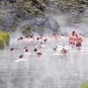
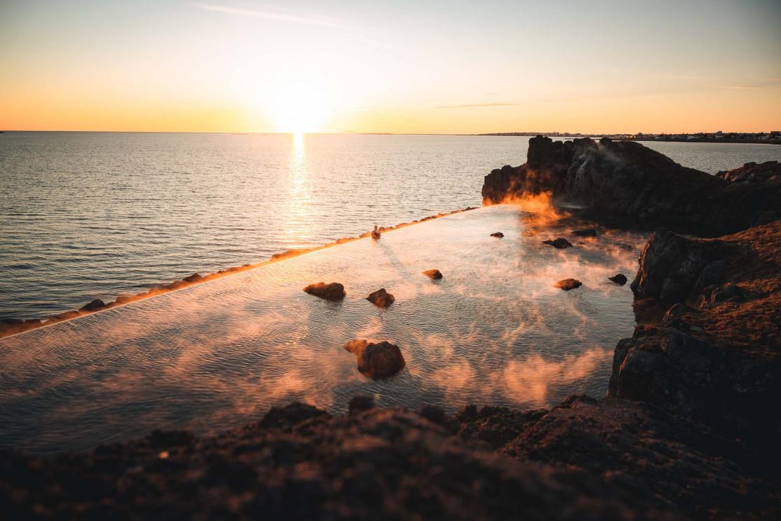
The Sky Lagoon hot baths opened very recently, in spring 2021. This fantastically modern geothermal spa resort is located very close to the capital Reykjavík. The culture of hot baths in Iceland dates back to the time of Nordic colonists and is a cherished tradition. T