The Kirkjubæjarklaustur Region
Located on the south coast of Iceland between Jökulsarlón and Vik, Kirkjubæjarklaustur is a small town of about 500 inhabitants. Its name, quite complicated to pronounce at first, is often abbreviated to “Klaustur” and literally means “Chapel of the Ladies' Farm”.
It's one of the main attractions for anyone passing through the south, and many excursions start from this point.
Kirkjubæjarklaustur: the crossroads of the south

Kirkjubæjarklaustur is something of a crossroads in this part of Iceland. Being close to many tourist sites and points of interest, it's become a sort of essential services platform for visitors with gas station, supermarkets, guesthouses etc...
It's true that there are quite a lot of tourist attractions nearby:
- Edlgja to the North
- Vik to the West
- Jokulsarlon, Skaftafell to the East
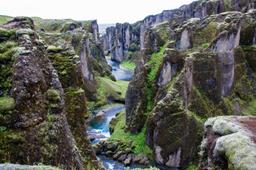
- Fjaðrárgljúfur
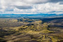
- Laki

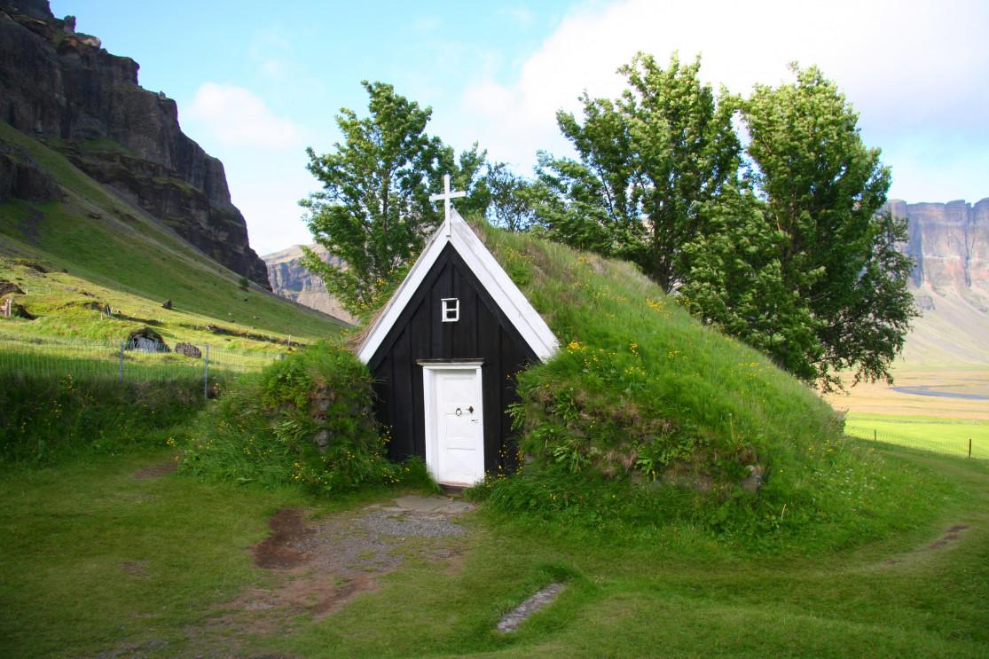
Núpsstaður and the Dverghamrar cliffs are one of the closest and definitely worth visiting. Núpsstaður is a tiny chapel located at the foot of Lómagnúpur dated 1650, and by tiny we mean only a few m².
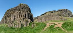
Located north-east of Klaustur, the Dverghamrar Cliffs ("Dwarf Cliffs") are, as the name suggests, two cliffs of superb basaltic organs carved by maritime erosion and dated around the end of the last ice age.
Photo Credit: Deborah Benbrook @fotolia
Things to do in Kirkjubaejarklaustur
During the Lakagígar eruption of 1783, the village miraculously escaped a tragic fate when the lava flow was stopped by a rocky promontory now known as Eldmessutangi.
Another popular attraction here is the Kirkjugolf (“church floor”). These basaltic organs have been so perfectly planed by glacial erosion that they have become dead flat underfoot, a most unique phenomenon.
Overlooking the village, there is a waterfall and a lake, both well known to locals: Systrafoss and Systravatn. The beautiful Systrafoss waterfall can be seen from as far as Road number 1 as you are driving into Kirkjubaejarklaustur.
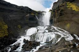
Nearby, a few kilometers east of the city, another waterfall can be seen from Road number 1: Foss á Siðu. The Siðu waterfall comes from Lake Þórutjörn and plunges 30 meters for a spectacular effect as it crashes onto the volcanic stone.
Hiking in Kirkjubaejarklaustur
Several hiking trails are laid out in the area as can be seen on the map, some near Dverghamrar, one further south of Road number 1. But the best known is probably the one starting from the village, leading to the lake and the "church floor".
The total duration of this hike is 1H15. The trail starts at the western end of the village near a wooden fence. The hike is easygoing, despite a fairly steep slope at the start.
The path is well-marked and after some hiking in the forest after the waterfall you arrive at a plateau with a fantastic view of Lake Systravatn. From the top, you can even see Vatnajokull on a clear day.
Follow the trail north-east for just over 1 km until you arrive near a house and the path starts to go downhill. You'll soon come across a car park with signs indicating the "church floor". An easy and fun hike for tourists staying nearby.