The Cliffs of Lóndrangar
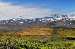
The Lóndrangar Cliffs are located at the western tip of the beautiful Snaefellsnes Peninsula.
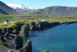
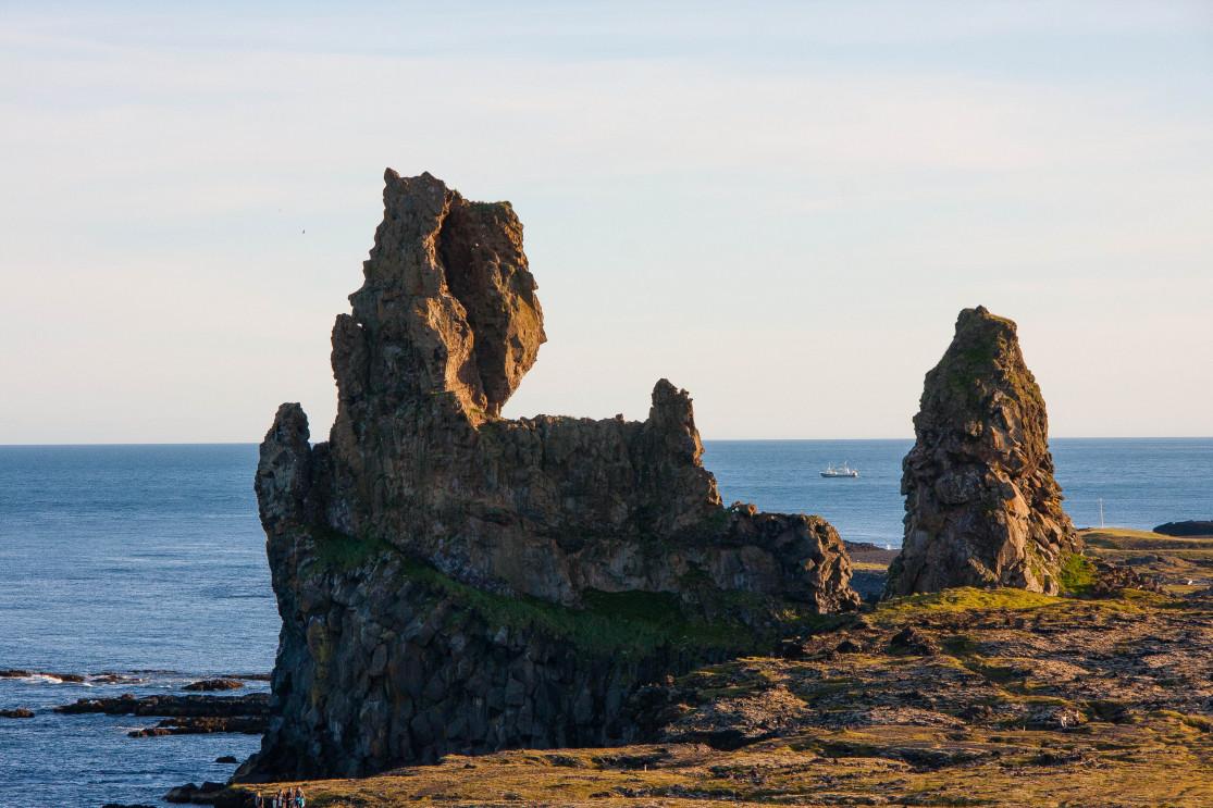
When you drive along the peninsula coastline and arrive in Snæfellsjökull National Park, you can't miss the view from Road 574 of two huge rocky peaks projecting into the ocean.
The basalt cliffs of Lóndrangar

These two large rock pillars can be seen from a fair distance, and the photo doesn't really convey the scale. But these are impressive: the largest measures 75 meters and the smaller of the two 61 meters.
These have become one of the main symbols of the Snaefellsnes Peninsula.
An Icelander named Ásgrímur Bergþórsson was the first to climb the largest of the two cliffs in 1735, and in 1938 the second was conquered by another local.
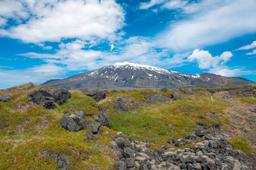
The cliffs of Lóndrangar much like the Svalþúfa hill a few hundred meters inland are of volcanic origin. Svalþúfa is in fact an old and eroded crater, and the two rocky peaks were formed by magma during an eruption that solidified in these spectacular columns.
As is often the case in Iceland, there are all sorts of legends about this place. The hill of Svalþúfa, for example, belong to the elves of the region according to locals of the superstitious type. Below this hill is the Thufubjarg cliff, the very place where the poet Kolbeinn Joklaskald had an encounter with the devil.
How to get there

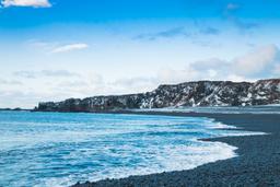
Going to visit Londrangar is very easy, and the site is generally accessible all year round. Road 574 leads all the way there at the south-western tip of the peninsula, about than 7 kilometers from Hellnar.
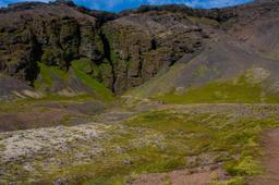
On site, you'll find a small car park a few hundred meters from the cliff, on the Svalþúfa hill, with a great view of the site.
What to do on site

On site, a small path leads to the Lóndrangar Cliffs, the walk merely a few hundred meters. The trail passes through Þufubjarg from which you get a magnificent view of the cliffs battered by the waves.
From here, the trail runs along the coast to the two rocky peaks. It's really worth getting up close to get a sense of scale, and as you can see above, placing a subject in your photo of the cliffs is a great way to show how huge they are, standing proud like sentinels guarding the land.
There are many local birds here, and they are a noisy bunch. Puffins, but especially fulmars, nest in the many cavities in the two pillars.
In fact you'll see that the ground at the foot of these basalt columns is simply covered in bird feathers, egg shells, and guano that testify to the thriving population of birds. You may even see a few Arctic foxes in the area looking for food...
From the cliffs there is a short trail you can hike to Malarrif a little further west. The return trip from the car park to Malariff along the sea is only 2.6 kilometers long, taking you across a pretty lava field covered in moss, to finally admire the red and white lighthouse of Malariff.
The trail is perfectly marked and accessible to all, and Malariff is a great viewpoint to admire the cliffs of legend.