Sprengisandur: Off-road Trail F26
There are two main roads that cut the island South to North, two off-road trails, the better known and the most popular of the two is the Kjölur (F35), and the road less traveled is Road F26 or Sprengisandur.
Like the vast majority of trails that go inland, the F26 is only open in summer, opening up in the last week of June. The exact date inevitably varies depending on weather conditions, so check the Vegagerdin site for up-to-date information:
The F26: A challenging trail

A 4x4 is essential to cross Sprengisandur. This is not a recommendation but absolutely critical, because while the southern leg may be an easy drive, the Nyidalur region will require you to cross fords.
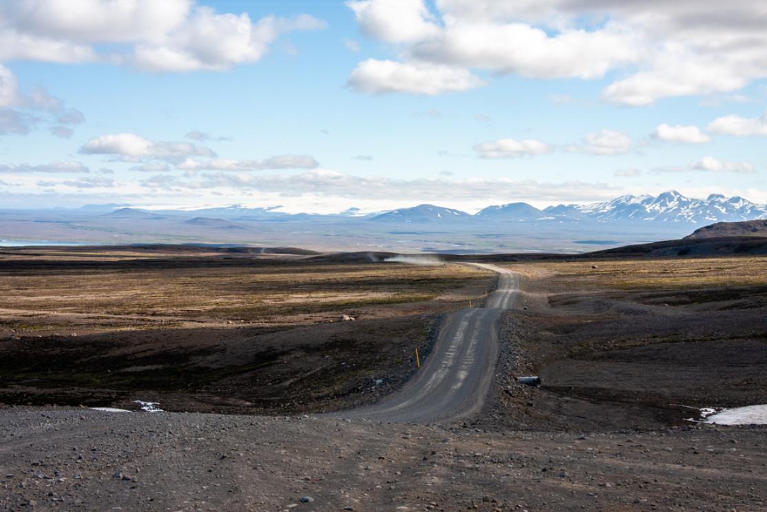
The total trail distance is 250 km or about a 5-hour drive from Hrauneyjar to Aldeyjarfoss. We strongly recommend you refuel strategically in Hrauneyar, which is the last gas station before the desert. There may be a fuel stop possible near the Versalir barns, but that station isn't always open.
The F26 trail isn't the most popular road to cut inland, as it's not considered as varied and scenic as the F35 (Kjölur), which also crosses the country on that north-south axis.
The Sprengisandur Desert

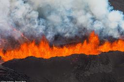
Far inland lie the arid desert highlands that stretch between the two impressive Hofsjökull and Vatnajökull glaciers. These desert landscapes were formed by lava flows and layered with volcanic stone and sand.
In good weather, the Sprengisandur drive has some exceptional panoramas, and these ashy deserts have a unique beauty as the clouds paint shadows in every shade of gray over these vast expanses. The weather is variable and volatile in this region of the highlands (between 700 and 800 meters above sea level).
There are some swampy areas with local wildlife, such as geese, ptarmigan swans, and snow buntings, but in the deserts the fauna becomes a bit sparse as you would expect.
Driving up from the south you can't miss Lake Thorisvatn when you arrive in the region, at 88 km in size simply the largest lake in the country. Like all glacial lakes in the country, it has a superb characteristic green color.
Keep driving north past Versalir until you arrive at Nýidalur, the main shelter in central Iceland with its 120 beds. This oasis greenery in the middle of the Sprengisandur Desert is a welcome stopover. Nyidalur is located 100 km from Hrauneyjar.
Located very close to the Tungnafellsjökull glacier, the Nýidalur valley is also the starting point for many hiking trails, some right up the glacier itself.
A few kilometers after Nýidalur there is a ford that you need to be careful crossing; its height varies according to rainfall. This is the only real challenging section, but it can sometimes be too dangerous to pass and vehicles may be forced to turn around.
From this point there are various paths leading north: the F910 west to Askja which is considered to be the most complicated track in the country, but there's the F752 to Varmalhið, the F821 to Akureyri, or you could stay on the F26 towards Goðafoss.
Before reaching Godafoss, however, the trail can get quite tricky, and a stop can be necessary near the Aldeyjarfoss waterfall, with its incredible basaltic organs and vivid green lichen walls.