Krysuvik and Seltun
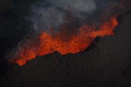
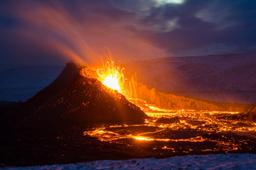
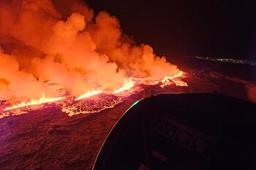
The Reykjanes Peninsula is something of a geothermal hotspot due to the high level of volcanic activity in that region.
The Krysuvik region is right on the line that separates the North American and Eurasian plates, known as the Mid-Atlantic Ridge. This is where geological forces are strongest, and the bedrock is pushed towards the surface creating numerous lava fields and fissures, solfatars, mud pots and hot springs.
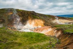
Some of the most concentrated volcanic activity can be observed at Seltún, south of Lake Kleifarvatn.
How to get to Krysuvik
The site is fairly easy to access in winter and summer, located less than 40 minutes (35 km) from the capital Reykjavik by car.
To get there, take Road 41 from Reykjavík for a few kilometers before branching off onto Road 42 towards Lake Kleifarvatn. Keep your eyes peeled for the sign indicating the “Seltun Geothermal area” site, where you can park.
The site, although close to the capital, is not really crowded which is surprising given how unique it is.
Seltun hiking trail

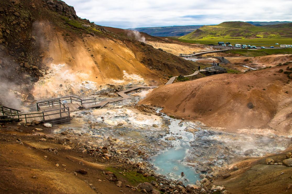
You'll know you've arrived by the time you reach the car park, the smell of sulfur is overpowering, and it only gets stronger when you approach the solfatars (maybe this is why the area isn't as popular as others...). There are wooden footbridges like a tour around the site without taking the risk of putting your foot on the ground, which can be dangerously hot in places, a bit like in Hverir or Geysir.
The Solfatars of Seltun are a breathtaking riot of colour. In winter, the effect can be even more pronounced as there is snow almost everywhere in the region but the Seltun site, due to the temperature of its soil and its mud pots, is always bare. Temperatures can reach 100 °C at the surface, as indicated by some signs, and up to 200° just 1 km underground.
Just follow the wooden footbridges to climb to the top of the solfatares to enjoy a superb view of Seltun and the Kleifarvatn lake.

As the smoke and heat suggest, this is still very much an active volcanic zone, and in 2000 the region suffered a major earthquake that affected the Kleifarvatn water levels and caused major tremors in Seltun.
You can wrap up a tour of the site in 30 minutes, but there is a short hiking trail that you can find by following the “Ketilstigur” sign at the end of the footbridges.
Follow the orange pegs that mark the trail uphill and after 1 km you can enjoy a splendid panorama of the Krysuvik region, before starting the hike downhill to Lake Arnavatn and its lava formations. It's a 45-minute walk to the foot of the Ketil Mountain and its lava fields.
On the way back, near Lake Arnavatn, it is possible to branch off in the direction of “Hettu” for another view of the region (+15 min).
Ultimately, the hiking trail is fairly easy and takes about 1.5 hours to cover the 5.6 km.
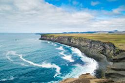
And there is even another extension to the hike by stopping at the cliffs of Krysuvikurberg.